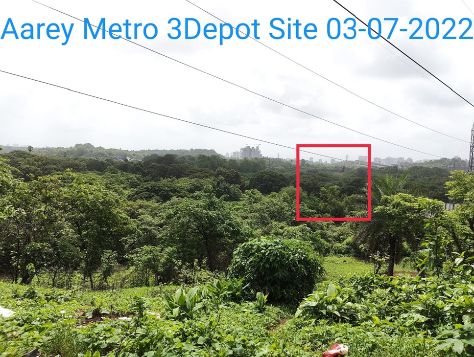
This is what will happen to the new area marked for the metro in aarey. This is the south east of Aarey.
The central portion was given for the SRP camp. And because of the high tension wire the electricity dept got controll of the forests under the power lines, Now they have their offices. Of course the property is now privatised after Addani took over the electricity distribution, for which they have their office space touching the highway to the west.. Now the tall buildings in the centre come up to replace the lowly structures as soon as the new privatised airport, changes the directions of their main take off funnel..and allows tall building in the non-tunnel area which cuts across aarey, making it a prime location for development, SRA, future premium buildings etc. The tall buildings on the right of this picture is in a location which was 'alienated' for a children's park and housed a huge amusement party till just two decades ago. The park was closed down as it was not financially viable and low and behold the oberoi buildings have come up and continue to come up along the south side of the original aarey left lung of Mumbai.
The west side ie from where this picture in taken was carved out for a transit camp, which became permanent and went in for MHADA redevelopment. 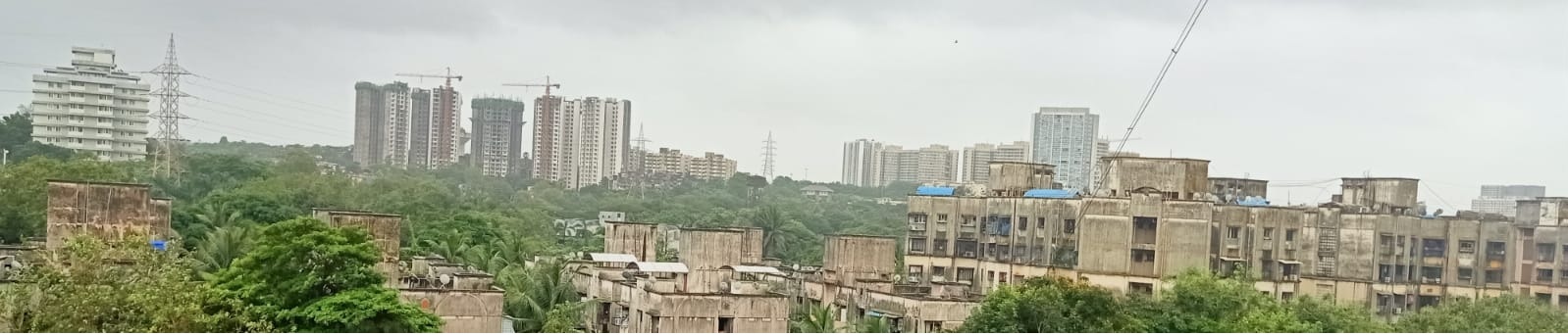
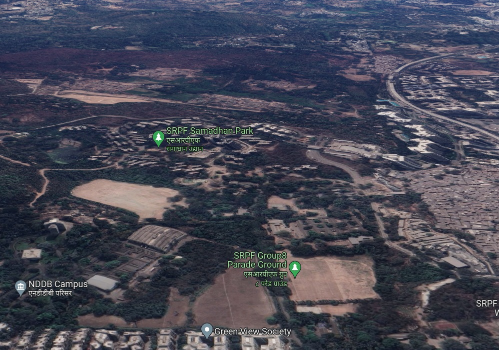
Segment as seen in google maps
And this is what is look from the other side today..
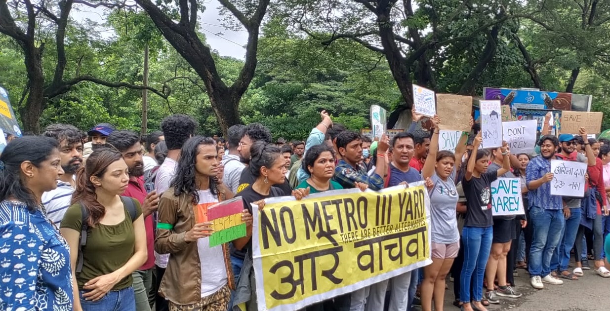
(Pix-Aarey Conservation Group )
Where is the Laxman Rekha? Can we draw one now?